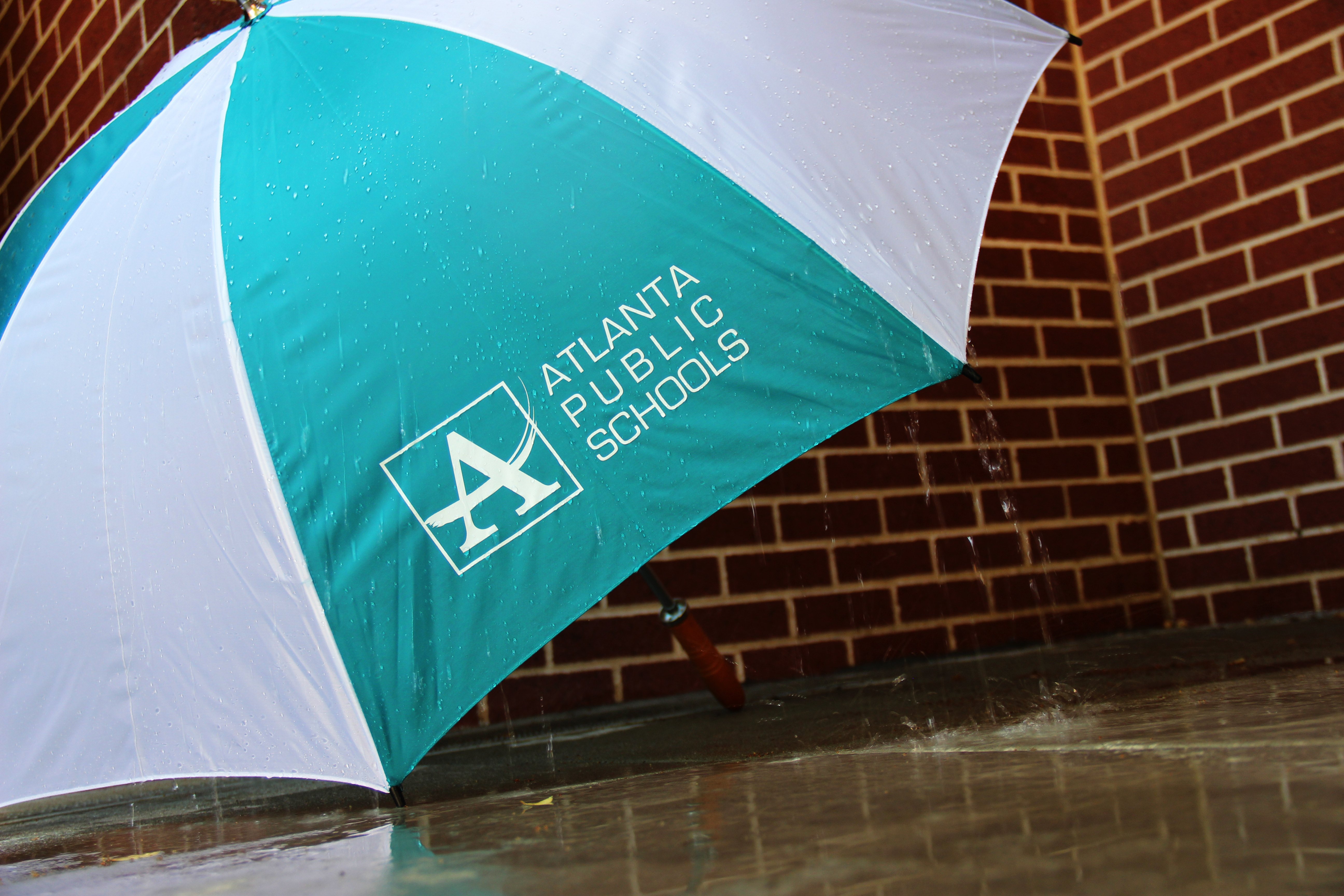
When Inclement Weather Threatens APS
As reports continue about Hurricane Irma and concerns that the storms could threaten cities as far inland as Atlanta, I wanted to assure our school communities that we are closely monitoring the weather and tracking the storm’s development in collaboration with the National Weather Service (NWS).
Based on the information we have received, it is predicted that heavy rainfall and strong winds may impact travel to and from school and work next week.
Our team will continue to monitor the weather throughout the weekend to stay abreast of the impact of the storm. Based on the latest weather information available at that time we will determine the impact to school operations for Monday. If a decision to cancel classes is made, parents/caregivers will be notified Sunday evening by robo-call and text message. We will also post the information on our website and convey the information to the media for broadcast.
I encourage you to log in to the campus portal for parents and update your preferences for emergency notifications, which include robo-calls, text messages and e-mails at http://www.atlantapublicschools.us/CPP. And follow me on Twitter @CarstarphenMJ.
I have addressed our weather procedures on this blog in the past, detailing the decision process about when we close school operations should weather conditions impede a safe school day. You can review that post here. Although it was written in expectations of wintry weather, it applies all year long.
As always: Our No. 1 concern is the safety of our students and our staff. So we want to make sure our families are informed as we prepare for heavy rains and strong wind gusts resulting from the storm that is expected to strike in the Bahamas and the southern Florida this weekend.

Some weather reports predict a Hurricane Irma path that could threaten Atlanta.
The greatest impact we see right now is an influx of motorist (evacuees) from the Florida area which is causing the rerouting of traffic on I-16, I-95 which has a direct impact on traffic on local interstates 285, and 75/85. We can expect to see a greater increase of traffic over the next two to three days, which means you can anticipate longer travel times around the city this weekend and early next week.
Here are some other suggestions you can do to prepare for Hurricane Irma:
- Check on family members in the anticipated storm paths and urge them to seek safety outside of the Hurricane track.
- Monitor your local television stations to keep up with the latest updates on the weather over the next 3 to 6 days.
- In the event of heavy rainfall, stay home and off the road if possible.
- Make sure you and your family have plenty of food and water in the event conditions are too bad to travel.
- While there is a low risk of tornados in the present forecast, remember there is always a possibility a tornado can suddenly erupt; therefore, be prepared to quickly relocate to a safe-zone or sheltering location away from windows and doors.
- Power outages are always a possibility during storms so make sure you have a weather radio, flashlights and other essentials in case of an outage in your area.
- Charge cell phones in advance. Extra batteries are a plus.
- Your local county Emergency Management Agency, Red Cross and Georgia Emergency Management Agency are great resources in the event you need assistance over the weekend – shelters, food, etc.
- Finally, think through your emergency preparedness plan “now” to ensure you have a plan that protects you and your love ones.
Be safe and don’t forget to review your home emergency preparedness plan as soon as possible – just in case you need it. We will be in contact with you if there are any changes or updates.
Have a safe weekend!
Blog Signup